
Survey-Experienced
Practical field and office judgment behind every deliverable.
3D Models · Surface Verification · Machine-Control Readiness
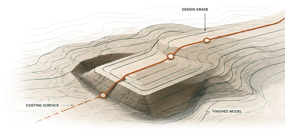
DatumLine Solutions creates, verifies, and improves construction surfaces and machine-control models before data problems become field problems. Supporting CAD, LiDAR, survey-data, and production services keep the full workflow coordinated.
Practical field and office judgment behind every deliverable.

Models, surfaces, CAD, LiDAR, and supporting survey information.

Flexible support for contractors, surveyors, and engineers.

Prepared files, issue logs, and findings your team can act on.
Core Services
Approximately two-thirds of DatumLine’s work is focused on 3D model creation, verification, and machine-control readiness. Those services receive the strongest emphasis throughout every project workflow.

Create clean, coordinated surfaces, breaklines, and staged model packages from design plans, CAD, survey, and supporting project data.

Compare contractor, design, survey, and existing-ground datasets to identify gaps, mismatches, and unexpected differences.

Prepare and organize construction data for dependable field use, with a practical review of supporting information and likely risk areas.

Process, classify, and derive practical terrain and design-support surfaces.

Clean, organize, and standardize survey and civil production files.

Flag inconsistencies, ambiguities, and record-versus-drawing discrepancies.

Add experienced capacity when project teams are overloaded or behind schedule.
How DatumLine Helps
A deliverable is only useful when the people relying on it can understand it, trust it, and use it without unnecessary uncertainty.
Workflow
Share plans, design files, survey data, and the project objective.
Review file condition, confirm scope, and flag missing information.
Build, refine, compare, or review the required construction data.
Provide prepared files, issue logs, comparison results, and recommendations.
Complete revisions and support the project’s next phase as needed.
Who We Support
About DatumLine
DatumLine Solutions is led by Eric Roth, PLS, a licensed land surveyor with more than 30 years of experience in surveying, public works, CAD, construction data, right-of-way, surface modeling, legal-description review, and project production.
That background brings practical field and office perspective to every model, comparison, and data package—helping clients catch problems early and move forward with clearer information.
DatumLine provides production support, technical review, comparison, and issue identification. Final design responsibility, certification, boundary interpretation, agency approval, and construction decisions remain with the appropriate licensed professional, client, contractor, or reviewing authority unless otherwise defined in a written agreement.
Start a Conversation
Describe the project, the files you have, and what needs to be created, compared, or checked.
All inquiries are delivered securely through the project-review form above.